State seeks public comment on Worcester Range Management Unit
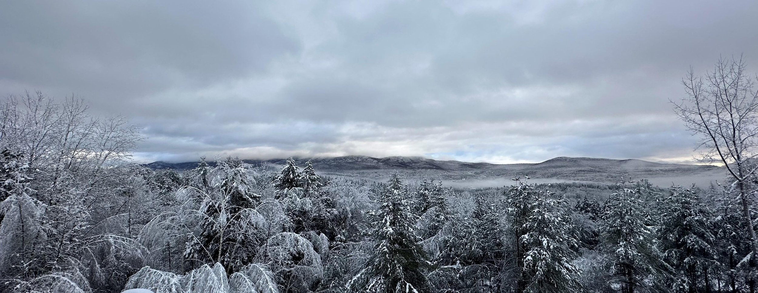
December 16, 2023 | From a news release Early snowfall on the Worcester Range from Waterbury. Photo by Lisa Scagliotti
The Vermont Agency of Natural Resources will host the second of two public meetings this month to present a draft long-range management plan for state lands along the Worcester Range that lie in five municipalities.
A presentation of the draft plan and public comment opportunity will be held on Tuesday, Dec. 19, from 6 to 8 p.m. at Stowe High School, 413 Barrows Road, in Stowe. The first meeting was held on Dec. 13 Worcester.
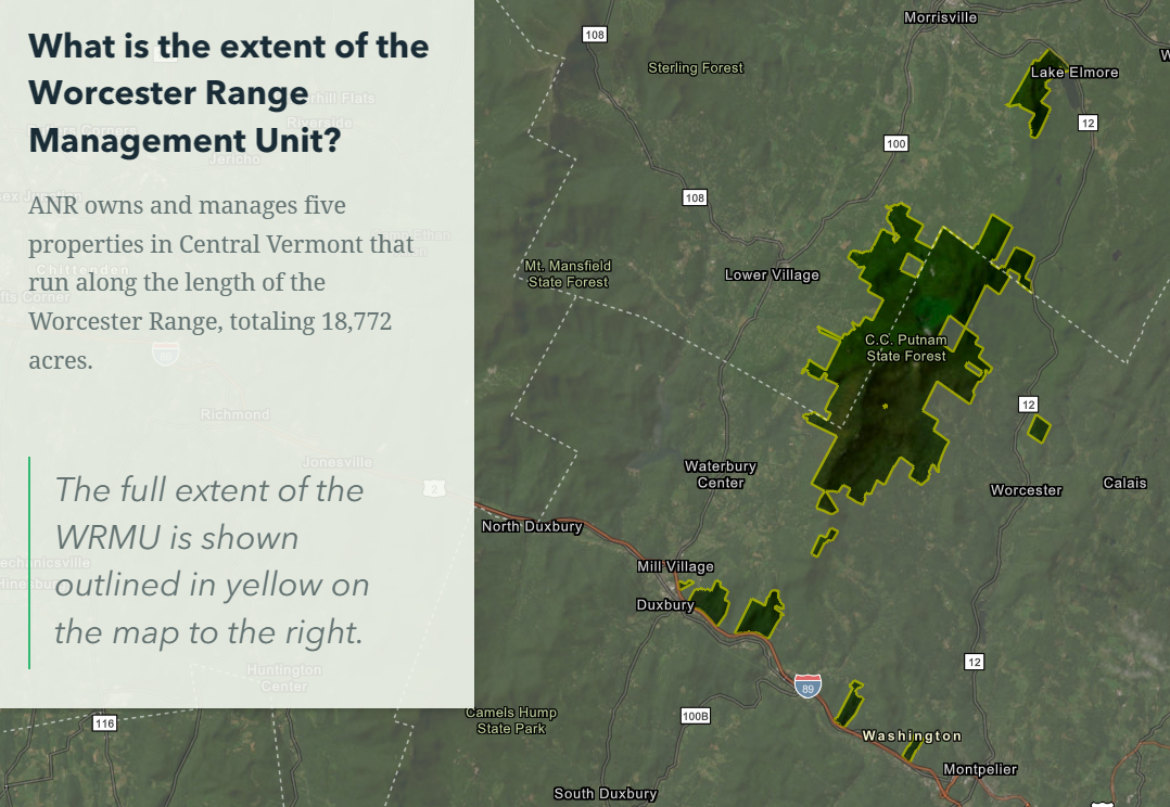
The more than 18,500 acres of state-owned land are located in Worcester, Middlesex, Stowe, Elmore and Waterbury in five separate parcels. The C.C. Putnam State Forest and Elmore State Park are managed by the Department of Forests, Parks, and Recreation. The Middlesex Notch, Middlesex, and Worcester Woods Wildlife Management Areas are managed by the Vermont Department of Fish & Wildlife.
The Worcester Range Management Unit contains several popular recreation destinations including Mount Hunger, Perry Hill trails in Waterbury, and Elmore State Park. There are also numerous opportunities for hiking, hunting, mountain biking, universally accessible trail use, fishing, snowmobiling, and skiing, as well as remote backcountry experiences.
State natural resources experts note that these areas along the Worcester mountain range, in connection with other conserved public and private lands, serve an important role in maintaining long-term health and viability of plant and animal populations while providing critical connectivity for wildlife along the Appalachians into Quebec.
The draft management plan proposes a range of activities and strategies to promote forest health and resilience, support biodiversity and wildlife habitat, produce a range of forest products, and provide high quality recreational opportunities. This plan includes management proposals for three recent additions to state lands: Upper Hollow tract in Stowe, Patterson Brook tract in Middlesex and Worcester, and Brownsville Forest tract in Stowe.
Information about the Worcester Range Management Unit draft plan and public comment opportunities is available on the agency’s website. The public meetings are being recorded with those recordings posted on the website to view later along with slides shared in the meeting presentations. The recording from the Dec. 13 presentation is already posted. The state will be accepting input from the public through Feb. 2.
For more information, contact Brad Greenough at brad.greenough@vermont.gov or 802-595-3143.
State of Vermont map
The Vermont Agency of Natural Resources is charged with oversight and management of Vermont’s natural environment on behalf of the people of Vermont. It is comprised of three departments: the Department of Forests, Parks and Recreation, the Fish and Wildlife Department, and the Department of Environmental Conservation.
To view FPR press releases, visit our website at https://fpr.vermont.gov/news.
Stephanie Brackin (she/her) | Communications Coordinator
Vermont Agency of Natural Resources
1 National Life Drive, Davis 2, Montpelier, VT 05620-3901
(802) 261-0606 | stephanie.brackin@vermont.gov
Connect with us on Facebook, Twitter, or our Website
Help raise money for Vermonters impacted by flood damage and show your Vermont pride with Vermont Strong and Tough Too license plates and socks. Click here to purchase your Vermont Strong gear or visit DMV.Vermont.gov/VermontStrong23. Impacted Vermonters can find resources and referrals by visiting Vermont.Gov/Flood.


