State releases management plan for Worcester Range
October 3, 2024 | By Lisa Scagliotti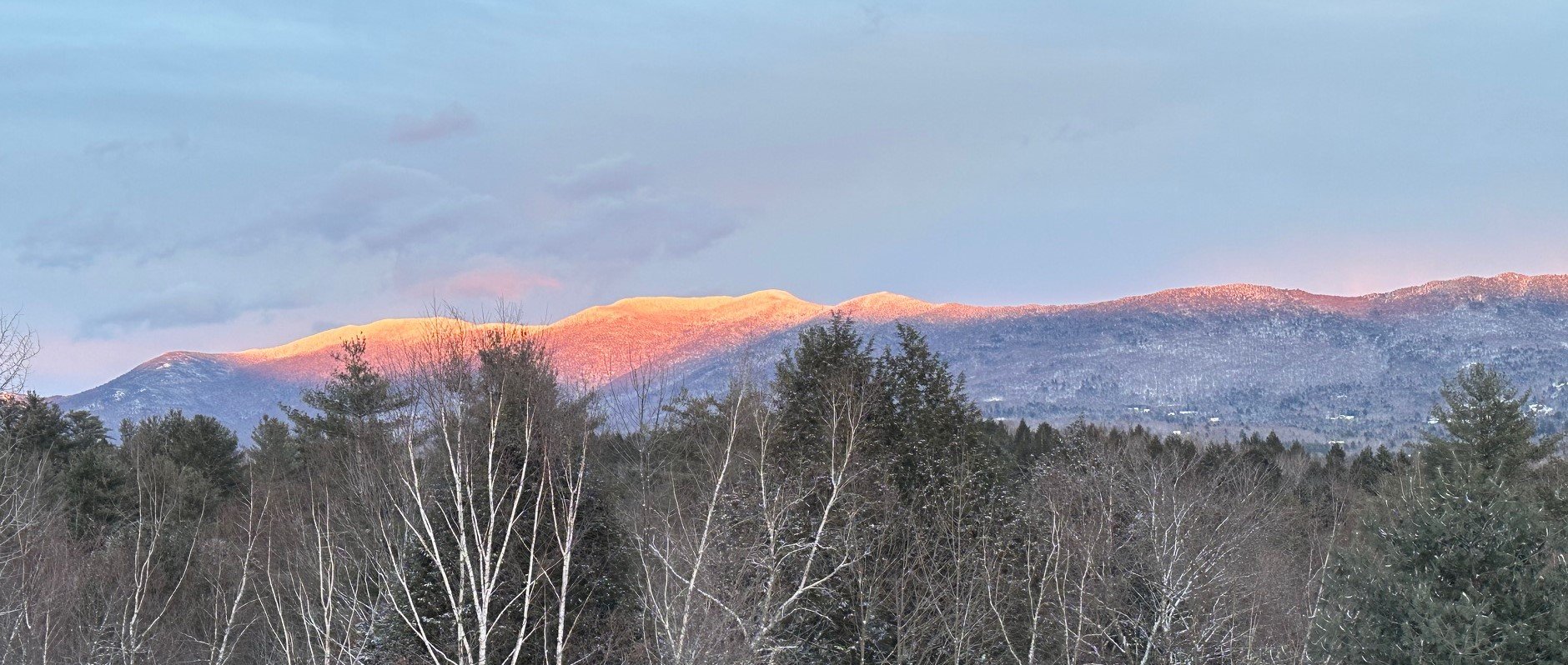
Alpenglow on the Worcester Range from Waterbury. File photo by Lisa Scagliotti
The Vermont Agency of Natural Resources released its completed long-range management plan for the Worcester Range Management Unit that encompasses state-owned forest lands in five communities including Waterbury.
The area’s 18,772 acres contains popular spots including Mount Hunger and Stowe Pinnacle, Elmore State Park, the Perry Hill trails in Waterbury, Middlesex Notch Wildlife Management Area as well as land and watershed that contribute to Waterbury’s municipal water system managed by the Edward Farrar Utility District. The tracts stretch across sections of Waterbury, Middlesex, Stowe, Elmore and Worcester.
The plan outlines the management direction for these lands, based on expert assessments by agency staff and “extensive public feedback,” according to the agency.
“Community engagement was strong, with over 1,350 comments received during public scoping and the draft plan’s comment period,” state officials said. “This highlights widespread interest in the future stewardship of this ecologically significant and beloved landscape.”

A groomed winter trail on Perry Hill. The new state management plan acknowledges increased winter trail use. File photo by Noah Tautfest
The process to develop this plan began in 2020, followed by an eight-week public comment period on the draft plan in 2023.
The goal was to outline a long-term plan for an area that’s key to ecological and wildlife connections between the Northern Green Mountains and the Northeast Kingdom. The management plan aims to “protect and enhance the area’s ecological functions while promoting forest health and climate resilience, offering diverse recreational opportunities, supporting the sustainable harvest of forest products, and maintaining high-quality habitats to bolster biodiversity,” state officials said.
Commissioner of the Department of Forests, Parks, and Recreation Danielle Fitzko said the final plan demonstrates the state’s commitment to responsible stewardship of public lands by balancing the needs of both people and nature.
“By protecting sensitive habitats, enhancing public access, and promoting sustainable, ecological management, we are ensuring these lands remain resilient and productive for all Vermonters for generations to come,” Fitzko said.
The plan designates 9,961 acres – 54% of the unit – for mostly passive management, allowing natural processes to shape the landscape. It also expands recreational access, formalizing winter mountain biking at Perry Hill, improving trail connectivity, identifying areas for managed backcountry skiing, and enhancing accessibility for a wider range of users, according to the state’s announcement.
Another 1,928 acres are designated for timber harvesting using sustainable forest management principles over the next 20 years. That portion of the plan suggests goals of increasing forest complexity, improving wildlife habitat, and enhancing forest resilience and health.
But the reliance on logging for future forest management has drawn criticism from at least one environmental group that wants to see the state cultivate the return of its forested tracts. Standing Trees Executive Director Zach Porter calls the plan “shortsighted,” a danger to downstream communities and wildlife, and a failure to address issues brought on by climate change. “The Worcester Range planning process represented an opportunity for the Vermont Agency of Natural Resources to shift its management into the modern era, protecting what could have been one of Vermont's largest wildlands for the benefit of present and future generations and our other than human kin,” Porter writes this week in a commentary on the plan’s release. “Instead, the final Worcester Range plan looks like a document from 1954, not 2024.”
This map used in the state management plan process shows the state-owned lands of the Worcester Range Management Unit. Click to enlarge.
Waterbury Select Board Chair Roger Clapp said state land management staff have been in touch offering to brief the board on the plan as it pertains to particular forest features in Waterbury. Clapp said he hopes to schedule the topic at an upcoming board meeting later this month.
“The use and management of EFUD waterworks parcels, waterways in the town and conservation in the Shutesville corridor will intersect with several different interest groups in town and ostensibly some of them have already contributed to the plan,” Clapp noted.
The final Worcester Range Long Range Management Plan along with a summary of public comments and the Agency of Natural Resources’ responses is now posted on the ANR website.